Boundary Surveys

Boundary Survey Services

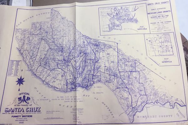
Boundary surveys establish the precise location of boundary lines based on legal descriptions, recorded documents, and field evidence. These surveys provide clarity and legal defensibility when property lines are in question.

When Boundary Surveys Are Needed

  • Property purchase or sale
  • Construction near lot lines
  • Fence or wall installation
  • Resolving boundary disputes
  • Subdivision or lot line adjustments

What We Deliver

  • Boundary determinations based on recorded and field based evidence.
  • Survey maps suitable for record submission
  • Clearly marked property corners (when applicable)

land survey monument

Continue reading

Construction Staking

Construction Staking Services

Construction staking involves transferring design plans from drawings to the field to ensure improvements are built in the correct location, elevation, and alignment. Accurate staking reduces costly errors and supports project efficiency.

Design plans are precisely transferred to the field to ensure structures, utilities, and grades are built in the correct location and elevation.

Typical Services

  • Building layout and offsets
  • Foundation staking and form certificates
  • Grading and curb staking
  • Utility alignment and elevation staking
  • As-built data collection

Benefits

  • Improves construction accuracy
  • Reduces rework and delays
  • Provides clear field reference points
  • Supports quality control and verification heavy equipment moving earth

Continue reading

Topographic Mapping

Topographic Survey Services

Essential for civil engineering design, grading, drainage planning and development projects, topographic surveys capture the contours, elevation and visible features of a given property. topographic surveying aerial

Typical Features Included

  • Ground elevations and contour lines
  • Buildings, pavement, and structures
  • Utilities and visible improvements
  • Drainage features and flow lines
  • Trees and significant vegetation

Common Uses

  • Civil engineering and site design
  • Architectural planning
  • Grading and drainage design
  • Permit submittals
  • Land development and redevelopment old map of santa cruz county

Continue reading