Topographic Survey Services
Essential for civil engineering design, grading, drainage planning and development projects, topographic surveys capture the contours, elevation and visible features of a given property.
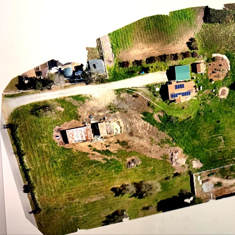
Typical Features Included
- Ground elevations and contour lines
- Buildings, pavement, and structures
- Utilities and visible improvements
- Drainage features and flow lines
- Trees and significant vegetation
Common Uses
- Civil engineering and site design
- Architectural planning
- Grading and drainage design
- Permit submittals
- Land development and redevelopment